Tuesday, September 20, 2011
Dusk
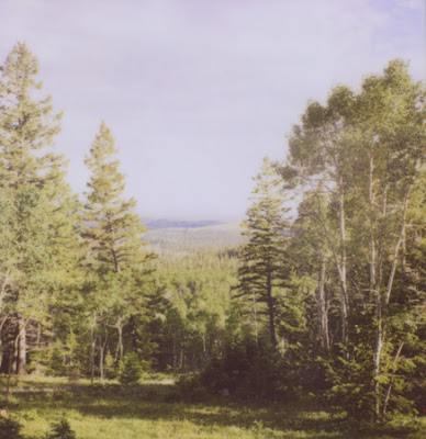
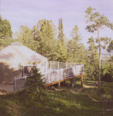
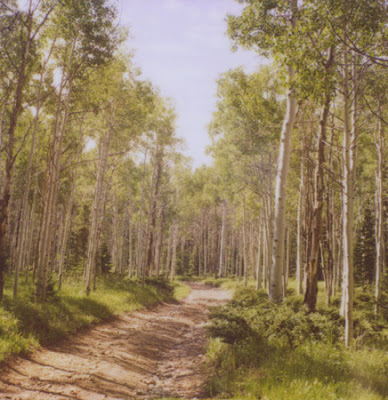
A couple more from the amazing little Grizzly Ridge Yurt... These are from my Pentax K1000 on our last night in the woods, and still, the beautiful light continued. I had planned on posting these clouds tonight, and then I saw Vanessa's cloudscapes on her blog today and loved the serendipity. Hi friend!
Sunday, September 18, 2011
The Yurt
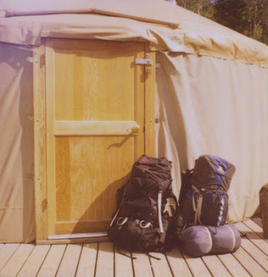
"Stay in a yurt" was on my list of things to do this summer, and in mid-July, that's just what we did. On July 15, we drove to the bustling metropolis of Vernal, Utah, then headed north on Highway 191 to the Ashley National Forest. After a very bumpy two miles where there were times we had to get out of the car and move rocks out of the way, we decided we'd gone far enough up the jeep trail and parked the car and backpacked in another 1.5 miles. Our original plan was to pack all the way in, but we got a late start and were afraid we wouldn't reach the yurt before dark. It's a good thing we drove in half way because we walked up to the yurt just as the sun went down. Perfect timing.
As we unpacked our backpacks, stored the food and water away (we had to pack in five gallons of water - no source up at the yurt), and familiarized ourselves with the very cool Grizzly Ridge Yurt, the moon rose full and bright over the nearby ridge, and made us even more excited to be there. We stayed two nights in pure solitude and saw only four other people all weekend. And one deer. It was heaven and we are pretty much counting down the days till next summer so we can make this a tradition.
In the next week, I'll be posting most of my yurt photos on Flickr and if I've got time, a few more here. There are so many. Stay tuned!
PS: I hope you got to cross something fun off your summer to-do list!
Tuesday, September 13, 2011
36 Miles
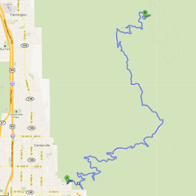
Today I headed out into the field for my second day of my new contract with the US Forest Service, and I went to Bountiful Peak Campground, a place closer to my home than most, but also very, very far away. Once the road turned to dirt, I traveled only 36 miles roundtrip, but it took me two full hours. It wasn't the worst road I've ever been on - far from it, actually - but it was indeed the scariest. For long traverses across the top of the Wasatch Front, the road hugged the mountainside thousands of feet above the valley floor. In some places, I bet the road was only 12 feet across and it sure made for some sketchy corners and the occasional passing of another vehicle. It was the first time in my two years and 22,000+ miles of driving for the Forest Service that I felt compelled to turn down my music so I could concentrate. And that's saying a lot.
According to Google Maps, this is the road as it climbs almost 3,000 feet in elevation and snakes over 18 miles of mountain. Below, that's what it looked like on the ground. The tiny white ribbon is the road, and the peaks above are pushing 9,500 feet, while just off the edge of the road is 3,500 feet of nothing but air. It was a little unnerving for a time, but I made it out safe and sound. I even saw a ptarmigan. And words can't describe how happy I am to be back on the road to finish up my work.
Subscribe to:
Posts (Atom)